AGSE 2017 - Kish, Iran
Geoinformation – Supporting Crisis and Disaster Management
Kish, Iran, 8. - 12. September 2017
Geoinformation – Supporting Crisis and Disaster Management
Kish, Iran, 8. - 12. September 2017
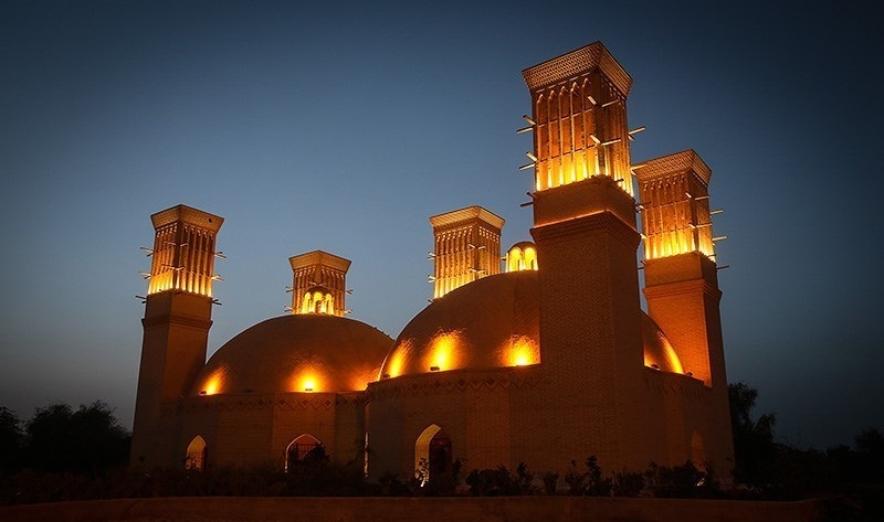
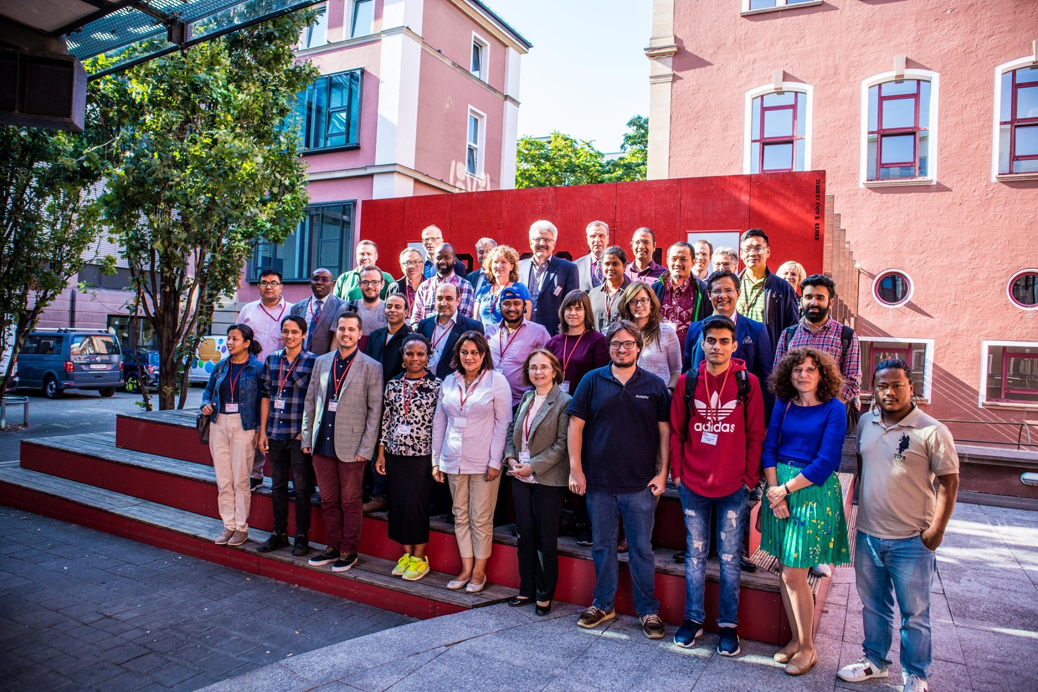
The 8th International Summer School of Applied Geoinformatics for Society and Environment (AGSE2017), which was co-organized by University of Applied Sciences Stuttgart, University of Tehran, German Academic Exchange Service (DAAD), and International Society for Photogrammetry and Remote Sensing (ISPRS) held at the Kish International Campus University of Tehran, Kish Island from April 29 to May 04, 2017. The overall goal of this conference was to take into account the current state-of-the-art in Geosciences related disciplines such as photogrammetry, remote sensing, and geo-information topics to a wide range of application areas, with significant focus on "Crisis and Disaster Management". During this summer school different practical and educational workshops have been conducted by outstanding and internationally known researchers on different fields of geospatial data acquisition, analysis and application. Generally, about 23 articles and works in progress and about 11 workshops were presented during five days. The scope of the presentations covered the latest science and technology developments as well as recent applications and research activities for crisis and disaster management, risk assessments, monitoring natural and man-made disasters, based on earth observation or ground based techniques as well as the other contribution of geoinformatics, remote sensing, and planning to preparation, response, recovery, and mitigation of disasters. The overall success of AGSE2017 summer school was demonstrated by the impressive attendance, with more than 50 participants from universities and research organizations, but also from application oriented institutions, primarily from Iran but also from twelve other nations such as Germany, France, The Netherlands, Colombia, Kenya, Bangladesh, Ethiopia, Sri Lanka, India, Nigeria, Nepal, and Tanzania. With the particular focus of the summer school on "Crisis and Disaster Management" the thematic extents of this edition aimed at contributions of Geoinformatics, Remote Sensing, and Planning to preparation, response, recovery, and mitigation of disasters. An overview of the presented subjects can be summarized as follows:
Finally, it can be stated that AGSE2017 summer school has been a very interesting and vivid conference with a broad range of high level presentations and workshops of very good scientific quality which it could bring both a professionally rewarding and personally memorable experience for all of its participants. I would like to thank the Stuttgart University of Applied Sciences, Germany for giving the University of Tehran an opportunity to host this year's Applied Geoinformatics for Society and Environment (AGSE2017) conference and summer school.
On behalf of the editors - Dr. Hossein Arefi, 09 June 2017
The Challenge of Climate Change & Geoinformation Solutions
With the focus on "Crisis and Disaster Management" the summer school aimed at contributions of Geoinformatics, Remote Sensing, and Planning to preparation, response, recovery, and mitigation of disasters. The summer school program included the invited talks by international experts in combination with presentations by participants and workshops on various topics related to the applications of geomatics engineering in crisis and disaster management.
The conference was supported by the German Academic Exchange Service (DAAD, http://www.daad.de/en/) financed by means of the Federal Ministry for Economic Cooperation and Development (BMZ), the University of Tehran, the Stuttgart University of Applied Sciences, Germany, and the Knödler-Decker Foundation, Stuttgart, Germany. The support of Uddin Al Azad M.Sc. during proof-reading is also greatly acknowledged.
Since 2008, AGSE is bringing together experts from around the world, AGSE fosters collaboration on cutting-edge research and practical applications in geospatial technologies, remote sensing, and GIS to address pressing global challenges.
The conference is closely related to the Master’s Programme in Photogrammetry and Geoinformatics with a global network of about 550 alumni. Since its beginning, the course is supported by the German Academic Exchange Service (DAAD) in its program for Development-Related Postgraduate Courses (EPOS).
In order to familiarize with the history and culture of Iran, especially of Kish Island, a visit to the ancient towns of Harireh and Kariz, Greek Ship, and Museum of Anthropology Native Kish were provided for participants of AGSE2017.
In the 8th Summer School of AGSE, different practical and educational workshops have been organized by teaching outstanding and internationally known researchers on different fields of geospatial data acquisition, analysis and application. Also, national and international experts as well as PhD students presented the latest science and technology developments as well as recent applications and research activities reporting, i.e., methods for crisis and disaster management, risk assessments, monitoring the changes such as natural/man-made disasters, based on earth observation or ground based techniques as well as the other contribution of Geoinformatics, Remote Sensing, and Planning in all phases of the disaster management cycle (preparation, response, recovery, and mitigation).
The Challenge of Climate Change & Geoinformation Solutions
Since 2008, the Applied Geoinformatics for Society and Environment (AGSE) Conference has been a leading international platform for professionals and academics in geoinformatics. Bringing together experts from around the world, AGSE fosters collaboration on cutting-edge research and practical applications in geospatial technologies, remote sensing, and GIS to address pressing global challenges.

Applied Geoinformatics for Digital Transformation and Environmental Stewardship
AGSE 2022 is incorporated into the DAAD supported alumni work of the University of Applied Sciences Stuttgart. Therefore, participants from many countries worldwide contribute with experiences from their home countries.
With the wide topic "Applied Geoinformatics for Digital Transformation and Environmental Stewardship" the summer school aims at contributions of Earth Observation, geoinformatics and geospatial science ) for ongoing digitalization in our socienties and our role in the handling of environmental changes and corresponding activities.
The concept includes invited talks by international experts in combination with presentations by participants in the mornings and workshops in the afternoons on topics related to technological developments and recent data provision by Earth Observation Systems.
The objective of the conference was to 'take the benefits of geographic information technologies to a wide canvas of applicable areas'. Since 2008 we – scientists, practitioners, students and alumni – continue this path to empower one another in a participative way.
Geospatial Technology in Times of Global Challenges
With more than 200 registered participants, AGSE 2021 (Applied Geoinformatics for Society and Environment) took place from November 24-26 as a hybrid conference – with a broadcast studio at HFT Stuttgart as well as streaming from the rooms of the partner university in Nepal, co-organized by the laboratory for interoperable and open source Geospatial software data and standards (HFT ICA-OSGeo-Lab). The continuous participation of 40 to 70 participants from (almost) all parts of the world over three days was a huge success.
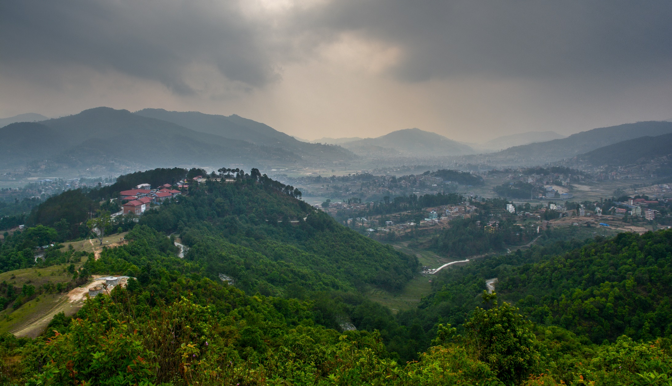
The alumni conference of the master’s program “Photogrammetry and Geoinformatics” had to overcome special hurdles this year. For a long time it was not certain whether a conference in presence at Kathmandu University in Nepal would be feasible during the Corona pandemic.
The planning and preparations in summer were still based on a presence event, because everyone would have preferred a face-to-face meeting in Kathmandu. With alumni and alumnae coming from all parts of the world, an online-only conference across time zones means a big challenge: for some it’s breakfast time, for others it’s the middle of the workday, after work, and some have to get up extra in the night. But the pandemic situation ultimately forced a switch to a hybrid conference. And that is why the organizers were very pleased that 58 alumni and alumnae from almost all continents of the world were present.
The now 11th AGSE conference was planned and implemented together with the Department of Geomatics Engineering, School of Engineering, Kathmandu University. Numerous international experts, many of them alumni of the study program, attended to listen to the interesting lectures on the topic “Geospatial Technology in Times of Global Challenges” and to exchange ideas in scientific discourse.
Mother Earth – Geoscience for Crisis Management
The organizers invited to participate and explore the potential of geospatial technology and learn how Geospatial science and IT as well as remote sensing and photogrammetry act as a positive force for governments, society and industry providing support in a wide range of topics including disaster manegement, planning, development, utility and resource management, transportation, safety and emergency response, research and analysis.
The conference was organized by Namibia University of Science and Technology(NUSTI, Windhoek, Namibia) and Stuttgart University of Applied Sdences, Stuttgart Germany, co-organized by the ICA Commission on SDI and Standards.
The Applied Geoinformatics for Society and Environment (AGSE) conference is an annual event that brings together experts in geoinformatics, remote sensing, and spatial data science.
Since 2008, the Applied Geoinformatics for Society and Environment (AGSE) Conference has been a leading international platform for professionals and academics in geoinformatics. Bringing together experts from around the world, AGSE fosters collaboration on cutting-edge research and practical applications in geospatial technologies, remote sensing, and GIS to address pressing global challenges.


Geoinformation – Catalyst for planning, development and good governance
Since 2008, the Applied Geoinformatics for Society and Environment (AGSE) Conference has been a leading international platform for professionals and academics in geoinformatics. Bringing together experts from around the world, AGSE fosters collaboration on cutting-edge research and practical applications in geospatial technologies, remote sensing, and GIS to address pressing global challenges.
AGSE 2011 is special; it is being held for the first time in Africa, and particularly so in Nairobi, Kenya, the city that hosts the headquarters of the United Nations Environmental Programme (UNEP). Besides drawing a variety of papers from the international forum of the alumni of Stuttgart University of Applied Sciences, a considerable contribution from other researchers has addressed the use geoinformatics in Africa, and more so from the host country. The scientific and application areas presented in the papers are classed into eleven broad sub-themes namely: (1) General application papers, (2) Internet-based and open source solutions, (3) Advances in GIScience and current developments, (4) Spatial data infrastructures, (5) Environmental issues and sustainable development, (6) Natural resource management, and monitoring (7) Disaster and risk management, (8) Geoinformatics in health, (9)Urban and regional planning, (10) GIS in Education, and (11) Alumni experiences and business development.
 [GFDL(www.gnu.org/copyleft/fdl.html) or CC-BY-SA-3.0 (www.creativecommons.org/licenses/by-sa/3.0/)], from
Wikimedia Commons; http://commons.wikimedia.org/wiki/File:Giraffe_-_Skyline_-_Nairobi_-_Park.jpg [2011-08-05]")
Below the El Misti volcano
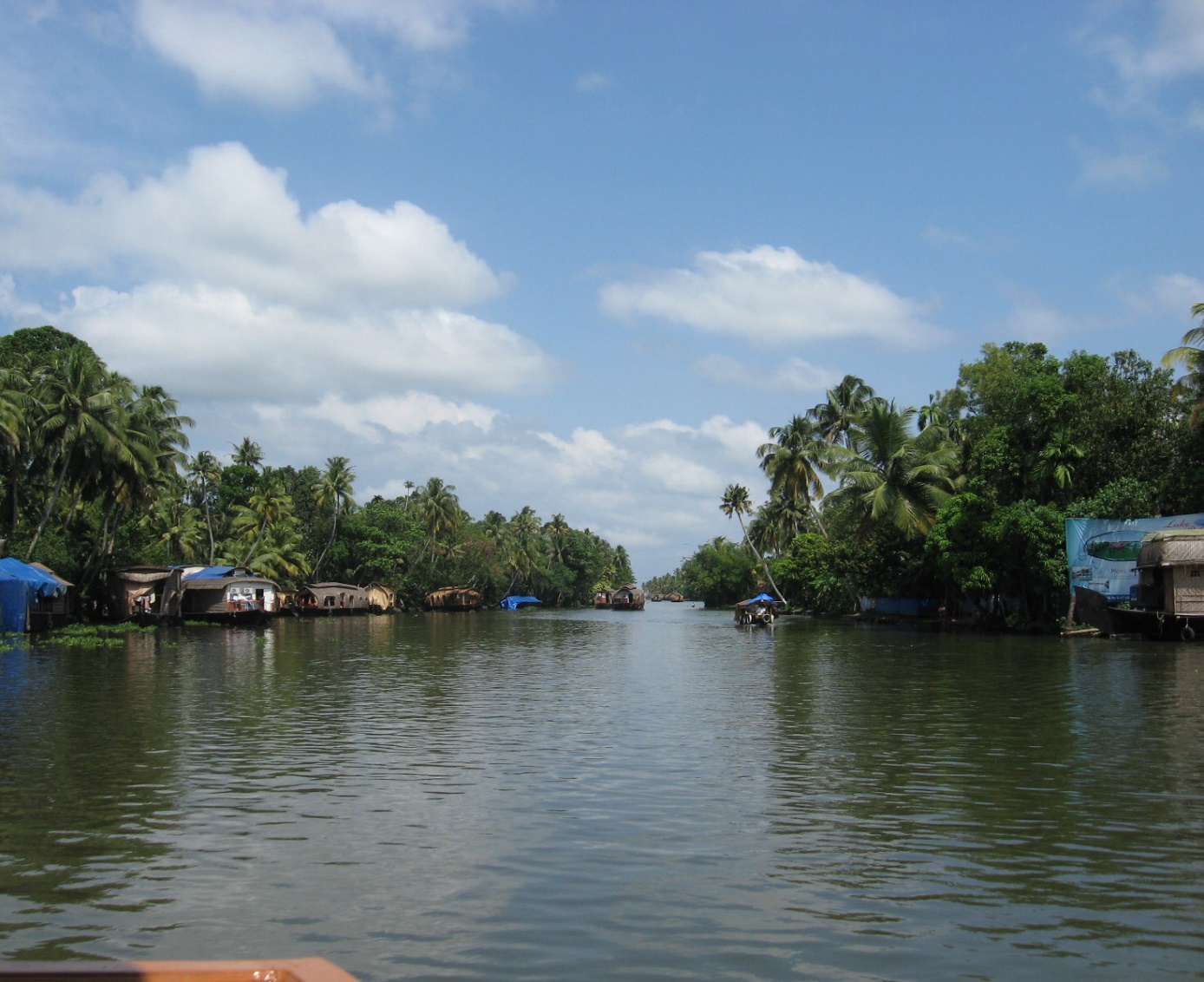
The third AGSE2010 (the Third Applied Geoinformatics for Society and Environment Conference 2010) jointly organized by the Stuttgart University of Applied Sciences, Germany (SUAS) and the Catholic University of Santa Maria (UCSM) took place between Aug 3 and 6, 2010 at Arequipa, Peru, under the benign gaze of the El Misti volcano. This was the third continent the conference was travelling to in as many years, the first being in the humid tropical environments of Kerala, in southern India, within the continent of Asia; the second in the temperate zone of southern Germany in Stuttgart, in Europe. In a way this could be record, because the fourth conference plans to move to Nairobi, in the continent of Africa. It won’t surprise anyone if an AGSE took place in Antarctica for that matter.

Taking the benefits of geographic information technologies

The Applied Geoinformatics for Society and Environment (AGSE) conference is an annual event that brings together experts in geoinformatics, remote sensing, and spatial data science.
Since 2008, the Applied Geoinformatics for Society and Environment (AGSE) Conference has been a leading international platform for professionals and academics in geoinformatics. Bringing together experts from around the world, AGSE fosters collaboration on cutting-edge research and practical applications in geospatial technologies, remote sensing, and GIS to address pressing global challenges.
